


01
Lower cost
Drone surveys cut site costs by removing scaffolding, rope access, and repeat visits before crews even mobilise.
Survey-grade drone data for sites, assets, and infrastructure.
Faster inspections. Safer access. Better decisions.
Professional drone survey services for sites, assets, and infrastructure across the UK. We help teams inspect, map, and monitor faster, without scaffolding or guesswork.

Five practical reasons clients replace slower, riskier site access with drone-led capture, repeatable reporting, and cleaner decision-making.
Drone surveys cut site costs by removing scaffolding, rope access, and repeat visits before crews even mobilise.
Aerial capture replaces slow manual setup with same-day site coverage and faster reporting and delivery.
Targeted inspections catch defects before minor faults grow into major repairs and needless disruption.
CAA-approved pilots inspect from safer stand-off points, cutting work-at-height risks and keeping sites moving.
Repeatable flight paths make change measurable across periods, so teams compare and act on evidence faster.
"We started this company because too many teams were making critical decisions about their sites and assets without ever seeing them clearly. Drone capture changed that for us, and now we make it happen for others — faster, safer, and with data you can actually trust."

High-precision topographic surveys, orthomosaics, and volumetric analysis delivered in hours instead of days. Using RTK-enabled drones and structured flight planning, we capture survey-grade data that fits directly into existing GIS and project workflows. Trusted by construction, mining, and infrastructure teams across the UK for planning, earthworks, and progress monitoring.
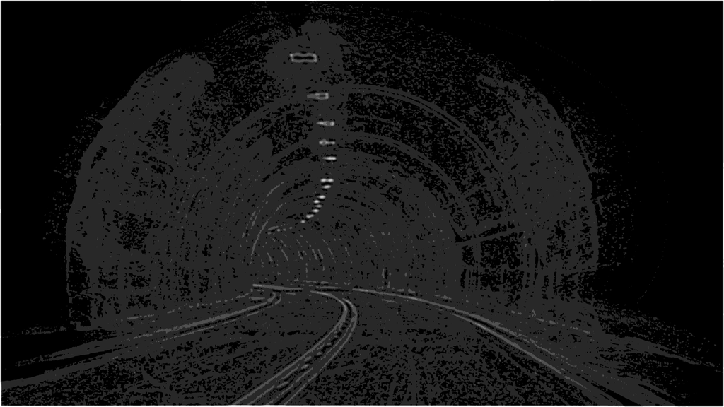
Inspect bridges, buildings, roofs, towers, solar assets, and industrial infrastructure without scaffolding or rope access. We capture high-resolution and thermal data that reveals visible defects and hidden issues before they become expensive failures. Ideal for energy, utilities, and facility management teams needing fast, safe condition assessments.
Create photorealistic 3D models, progress records, and cinematic aerial content from a single flight operation. Ideal for construction tracking, property marketing, planning, stakeholder reporting, and digital twin workflows. Used by developers, architects, and project managers for visual records that win buy-in.
We provide drone survey and aerial inspection services to construction, energy, agriculture, real estate, government, insurance, and resource-sector teams across the UK that need accurate data without slow site access or operational disruption.
Our core drone services include aerial surveying and mapping, infrastructure inspection, thermal imaging, 3D modelling, aerial photography, and recurring monitoring programmes, all tailored to your workflow and delivered UK-wide.
Our drone surveys use structured flight planning, RTK-enabled capture, and rigorous processing to deliver survey-grade outputs with sub-centimetre accuracy. For repeat monitoring and volumetrics, we design consistent flight paths so change is measurable over time.
We aim to respond to all drone survey enquiries within 4 working hours. Depending on airspace approvals and site access, most inspections and aerial surveys can be scheduled within days, with reporting typically delivered within 48 hours of the flight.
Tell us about your requirements and we'll provide a tailored proposal.